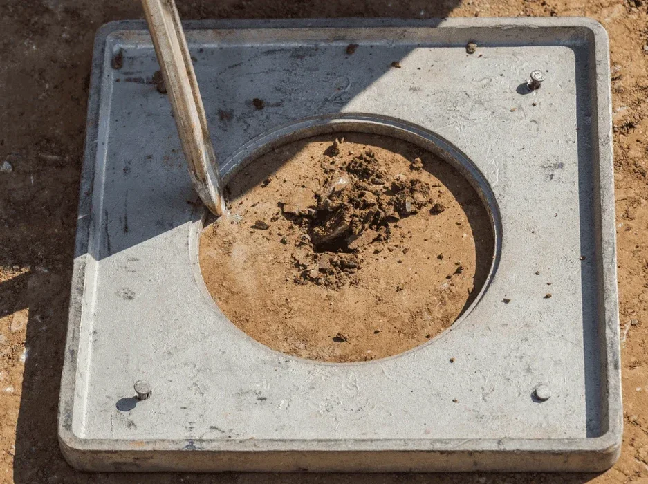
Ground conditions shift dramatically across Laramie. Just north of the Union Pacific tracks near the river, you encounter saturated sands and silts that behave very differently from the decomposed granite up on the east bench near the university. That difference matters when seismic loads hit. We run site-specific soil liquefaction analysis to determine whether saturated deposits will lose strength during a seismic event. Our lab correlates field data from SPT drilling with fines content and plasticity indices from undisturbed samples. The result is a clear picture of factor of safety against liquefaction at each critical depth. No two sites behave identically. Even within the Laramie Basin, subtle changes in groundwater depth and soil density completely alter the liquefaction susceptibility profile. Our team has worked these local formations long enough to know where the surprises hide.
Liquefaction doesn't announce itself until the ground shakes. Our job is to identify the risk before the first shovelful of earth moves.
Local geotechnical context
At 7,165 feet above sea level, Laramie's seismic threat feels distant to many. That perception is dangerous. The Intermountain Seismic Belt runs through western Wyoming and has produced magnitude 6.5+ events in the geologic past. Laramie's population of roughly 32,000 occupies a basin filled with unconsolidated sediments washed down from the Laramie Range and the Snowy Range. Much of that material is loose, young, and water-saturated in the lower terraces. A moderate earthquake could trigger lateral spreading along the Laramie River corridor, where critical infrastructure and transportation routes concentrate. Ignoring liquefaction potential in foundation design leads to differential settlement, loss of bearing capacity, and structural distress that insurance seldom fully covers. Our analysis provides the numerical justification for ground improvement decisions before construction begins.
Questions and answers
What does a liquefaction analysis cost for a typical commercial project in Laramie?
For most commercial sites in Laramie, a complete liquefaction analysis including field drilling, laboratory testing, and the engineering report falls between $2,700 and $4,590. The final cost depends on the number of borings, depth to bedrock, and whether cyclic triaxial testing is required. We provide a firm quote after reviewing the geotechnical scope of work.
Is liquefaction really a concern in Laramie since we are far from the coast?
Absolutely. Liquefaction is not just a coastal phenomenon. It occurs wherever loose, saturated sandy soils experience strong ground shaking. The Intermountain Seismic Belt poses a real threat, and the shallow groundwater in parts of the Laramie Basin creates conditions ripe for liquefaction. The 2011 Christchurch, New Zealand earthquake demonstrated how damaging liquefaction can be far inland.
How deep do you typically drill for a liquefaction investigation?
We typically drill to at least 50 feet or until we encounter bedrock or a dense, non-liquefiable stratum. In the Laramie Basin, where alluvial deposits can be quite thick, we focus on the upper 30 to 50 feet because that zone contributes most to surface manifestation and foundation damage.
Can you test soils from older borings or do you need new samples?
We can sometimes use existing boring logs if the SPT data is of high quality and the samples were properly preserved. However, we strongly prefer to conduct new drilling. This lets us measure hammer energy directly, collect undisturbed samples for cyclic testing, and verify groundwater conditions at the time of investigation.