← Home · Foundations

Deep Foundation Engineering in Laramie’s High Plains Geology

Together, we solve the challenges of tomorrow.

LEARN MORE →

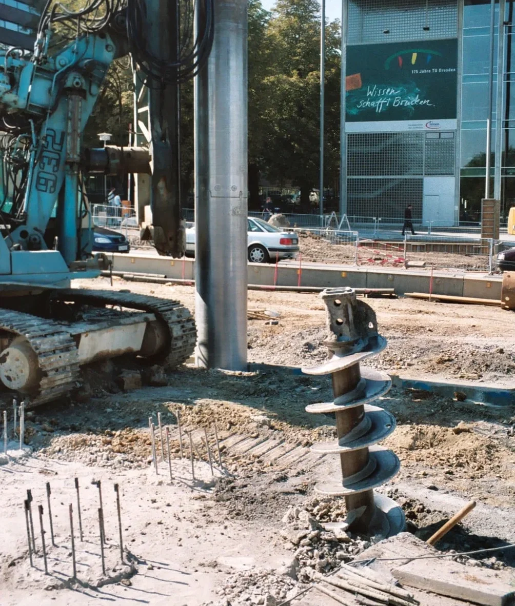
Out here on the Laramie Plains, you learn quickly that the subsurface doesn’t always cooperate the way a textbook suggests. At 7,165 feet of elevation, the ground beneath the city alternates between ancient alluvial deposits, weathered shale from the Casper Formation, and pockets of highly expansive clay that can heave unpredictably with seasonal moisture changes. A shallow footing might suffice near the university campus where bedrock sits close to grade, but move toward the eastern subdivisions and you’re dealing with 20 feet of colluvium before hitting anything competent. That’s why deep foundation solutions become the default conversation for any engineered structure that demands long-term performance. Our team approaches each site by first understanding the local stratigraphy—we correlate regional mapping from the Wyoming State Geological Survey with in-situ data from our SPT drilling program before selecting pile type, length, and capacity. The goal isn’t just to satisfy IBC Chapter 18; it’s to design a foundation that accounts for frost penetration depths exceeding 60 inches and the cyclic wet-dry behavior that makes Laramie’s soils so distinctive.

Laramie’s elevation isn’t just a number on a sign—it’s a geotechnical variable that influences frost depth, soil suction, and the long-term performance of every deep foundation we design.

Methodology and scope

The contrast between downtown Laramie and the developing acreages west of the airport illustrates exactly why pile design here can’t follow a single template. In the older grid near Ivinson Avenue, many sites encounter the Casper sandstone at depths under 15 feet—a material that offers excellent end-bearing capacity but requires careful drilling to avoid hole collapse through the overlying weathered zone. Out toward West Laramie and the areas beyond Snowy Range Road, the profile shifts: thicker sequences of silty clay and occasional lenses of poorly graded sand create conditions where skin friction governs capacity rather than end bearing. Our design methodology for these varying profiles follows the geotechnical parameter evaluation outlined in ASCE 7-22, with load and resistance factor design applied to both driven and drilled shaft configurations. We calculate settlement under service loads using the Randolph and Wroth method for single piles and account for group efficiency reduction when spacing drops below three diameters. In several recent projects where the clay fraction exceeded 40 percent, we recommended combining the pile design with a stone column ground improvement phase to mitigate post-construction heave at the pile cap interface.
Deep Foundation Engineering in Laramie’s High Plains Geology
Technical reference image — Laramie

Local geotechnical context

Laramie sits within Seismic Design Category B for most mapped sites, but that classification doesn’t fully capture the risks posed by the area’s expansive soils. A 2021 study by the Wyoming State Geological Survey documented vertical movements exceeding 3 inches in the Pierre Shale-derived clays found along the Laramie River corridor—enough displacement to crack grade beams and shear pile-to-cap connections if the foundation system isn’t designed with a void form or sleeved upper shaft section. The bigger operational risk comes from design-stage assumptions about bedrock depth. Relying solely on regional geologic maps without site-specific borings regularly leads to pile lengths that either fall short of competent rock or drive unnecessary cost into a project. We’ve seen cases where bedrock elevation varied by 10 feet across a single building footprint near the Spring Creek drainage. Our approach includes a minimum of one boring per 1,500 square feet for pile-supported structures, with refusal criteria defined in the geotechnical baseline report rather than assumed from desktop studies. Differential settlement between pile groups and adjacent grade-supported slabs also demands explicit attention in the construction documents.

Need a geotechnical assessment?

Reply within 24h.

Email: [email protected]

Typical values

ParameterTypical value
Design frost depth (Albany County)60–72 inches per IBC Table 301.2(1)
Typical pile embedment depth15–40 feet depending on bedrock profile
Common pile types specifiedDrilled shafts (ACIP), driven H-piles, micropiles
Bearing stratum in Laramie areaCasper Formation sandstone, dense alluvial gravel
Liquefaction potential (Seismic Site Class)Low—Class B/C per site-specific shear wave data
Expansive soil classificationCH to CL; PI range 20–45 per ASTM D4318
Load testing standardASTM D1143 for static axial compressive load
Seismic design category (typical)B or C per ASCE 7-22 §11.6

Related services

01

Drilled Shaft and ACIP Pile Design

Full LRFD-based capacity calculations for augered cast-in-place and drilled shaft foundations, including side resistance in Laramie’s interbedded claystone and sandstone layers. We specify concrete mix designs compatible with groundwater sulfate levels and provide installation observation during drilling and concreting phases.

02

Helical Pile and Micropile Solutions

Design of small-diameter deep foundation elements for retrofit projects and sites with limited access—common in Laramie’s historic downtown district. Helical pile capacity is verified through torque-to-capacity correlation calibrated to site-specific soil parameters, with installation monitoring per ICC-ES AC358 criteria.

Applicable standards

IBC 2021 — Chapter 18 Soils and Foundations, ASCE 7-22 — Minimum Design Loads and Associated Criteria for Buildings and Other Structures, ASTM D1143 — Standard Test Methods for Deep Foundation Elements Under Static Axial Compressive Load, ASTM D3689 — Standard Test Methods for Deep Foundation Elements Under Static Axial Tensile Load, FHWA GEC 10 — Drilled Shafts: Construction Procedures and LRFD Design Methods

Questions and answers

What is the typical cost range for a pile foundation design package in Laramie?

For most residential and light commercial projects in the Laramie area, a complete pile foundation design package—including geotechnical investigation, capacity calculations, and construction drawings—ranges from approximately US$1,840 to US$6,340. The final cost depends on the number of borings required, the complexity of the soil profile, and whether load testing is specified. Projects with highly variable bedrock depth or those requiring micropile solutions tend toward the upper end of that range.

How deep do piles need to go to reach competent bearing material in Laramie?

It varies significantly by location within the city. Near the University of Wyoming campus and downtown, the Casper Formation sandstone can be encountered at depths of 12 to 18 feet. In the eastern and southwestern expansion areas, weathered shale and colluvial deposits may extend to 30 or even 40 feet before reaching bedrock with sufficient end-bearing capacity. We never specify pile lengths without site-specific borings—regional geology maps provide a starting point, but the local variability is too high to rely on them alone.

Do expansive soils in Laramie affect pile foundation performance?

Yes, and this is one of the most critical design considerations for pile-supported structures in the Laramie basin. The high-plasticity clays derived from Pierre Shale can generate swell pressures exceeding 5,000 psf during wet seasons. We address this by specifying a void zone beneath grade beams, isolating the upper pile shaft with a compressible sleeve, or designing the pile to resist uplift forces generated by the swelling soil. Ignoring expansive soil interaction with the pile system is the most common cause of structural distress we encounter in forensic investigations.

Location and service area

We serve projects in Laramie and surrounding areas.

View larger map