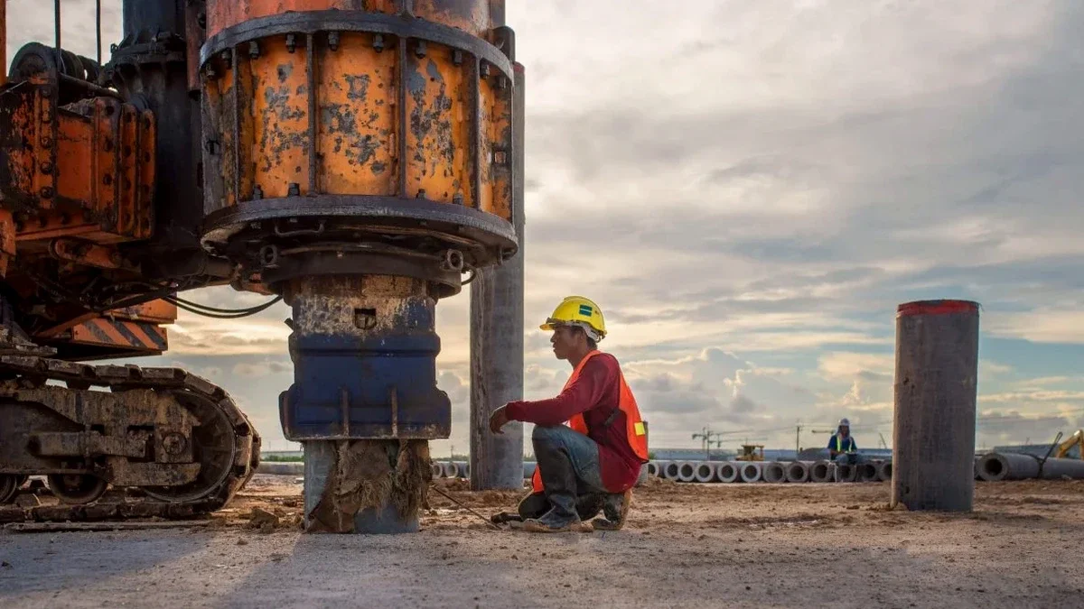
At 7,165 feet above sea level, Laramie sits on the high Laramie Plains between the Snowy Range and the Laramie Range. This basin-and-range setting means soil conditions shift fast across short distances — from weathered granite residuum near Vedauwoo to deep alluvial fill along the Big Laramie River. The 2024 update to ASCE 7 raised the design spectral accelerations for much of Albany County, making VS30 classification a go/no-go item for structural design. We run MASW surveys across Laramie to nail down Site Class without guesswork. The method uses surface waves — no drilling, no spoils — and works on everything from stiff gravel terraces to softer basin sediments. For projects where a single borehole gives limited stratigraphic control, pairing the MASW profile with targeted SPT drilling gives you both velocity and blow count correlation in the same coordinate system.
On Laramie's variable basin fill, one MASW line replaces a stack of assumptions about what sits between boreholes.
Methodology and scope
The shallow subsurface around Laramie reflects its Quaternary and Neogene history. Terraces of the Big Laramie River carry interbedded sands and gravels that grade into fine-grained basin deposits south of town. These soft sediments can produce VS30 values below 600 m/s, pushing a site into Site Class D or E under IBC Table 1613.2.3. We deploy a 24-channel seismograph with 4.5 Hz geophones in both active-source (sledgehammer) and passive (microtremor) configurations. Active shots give high resolution in the top 30 meters; passive arrays using ambient noise — wind, traffic on I-80, distant rail — extend the dispersion curve to 60+ meters where bedrock is deeper. Processing follows the multichannel analysis workflow with dispersion curve picking and 1D shear wave velocity inversion. The output is straightforward: a VS30 value, a layered velocity profile, and a Site Class letter per ASCE 7-22 Section 20.3. On sites near the Laramie River floodplain, we increase geophone spacing to capture the impedance contrast at the water table.
Local geotechnical context
The field setup is deliberately simple: a spread cable laid across the ground, geophones planted at fixed intervals, and an impact source that generates broadband surface waves. No heavy rig, no drill cuttings, no traffic disruption. In Laramie, the biggest operational variable is wind. Sustained 25+ mph winds — common on spring afternoons — inject low-frequency noise that can smear the dispersion image. We mitigate this by running passive arrays during calm morning windows and stacking multiple shots when wind increases. Frozen ground from November through March stiffens the near-surface, shifting VS30 upward by 10 to 15 percent. We document ground conditions at the time of testing so the design team can interpret winter data correctly. Sites with thick fill over bedrock, like graded pads on the east side of town, sometimes produce velocity inversions — a faster layer over a slower one — that require mode separation during processing. Our inversion routine runs Monte Carlo iterations to bracket uncertainty, giving you a median VS30 with a defensible coefficient of variation.
Questions and answers
What does a MASW survey cost in Laramie?
For a standard VS30 classification with one or two active MASW lines in the Laramie area, budgets typically fall between US$1,930 and US$2,790 depending on site access, array length, and whether passive MAM acquisition is added. Sites requiring multiple lines or rough-terrain access on the basin margins will be at the upper end.
How long does the field work take?
A single MASW line with active source takes about two to three hours on site, including setup, shooting, and breakdown. Adding passive recording adds another 30 to 60 minutes of ambient noise acquisition. We can usually turn the report around within three to five business days.
Does frozen ground affect the VS30 measurement?
Yes — frozen near-surface soil increases shear wave velocity measurably. In Laramie, where ground can freeze from November through March, we document surface conditions at the time of testing and flag winter data in the report. The design team can apply a seasonal correction or schedule testing for thawed conditions if the project timeline allows.
Which Site Class triggers additional requirements under IBC?
Site Classes E (VS30 < 180 m/s) and F (liquefiable soils, peats, very high plasticity clays) trigger site-specific ground motion analysis under ASCE 7-22 Section 11.4.8. Most Laramie basin sites fall into Site Class C or D, but soft sediments along the Big Laramie River corridor occasionally dip into Class E territory.
Can MASW replace a borehole for site investigation?
MASW gives you shear wave velocity — a stiffness parameter — but it does not provide soil type, moisture content, or stratigraphic detail. We recommend pairing the velocity profile with at least one borehole or test pit so you can tie the geophysical layers to actual soil descriptions. The combination of MASW and SPT data produces a much stronger ground model than either method alone.