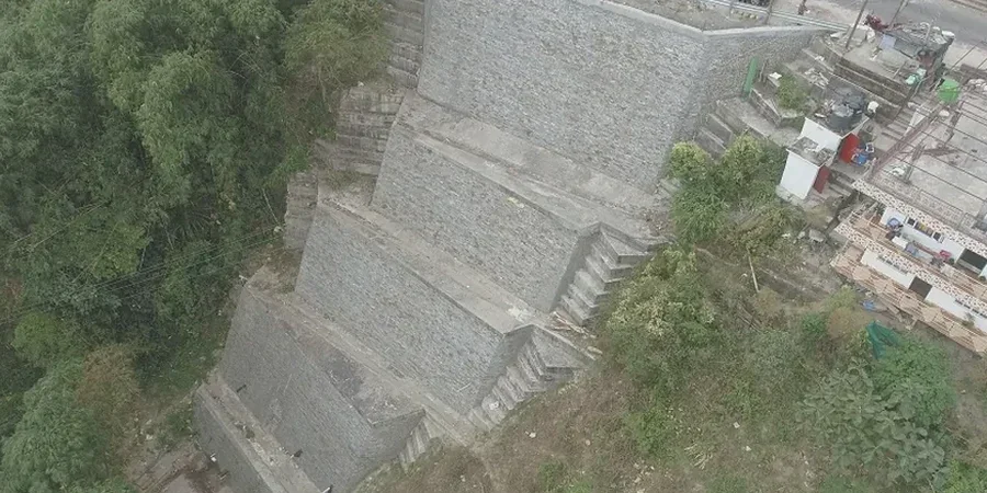
The Laramie Range exposes extensive decomposed Sherman Granite, a Precambrian bedrock overlain by thin, highly variable colluvial deposits. At 7,165 feet elevation, freeze-thaw cycles accelerate weathering and create a loose grus layer that triggers shallow failures on cuts steeper than 1.5H:1V. We run limit-equilibrium modeling on these slopes because the interface between residual soil and competent rock is rarely planar. A slope stability analysis here must account for groundwater perched above the granite contact, especially after spring snowmelt when pore pressures spike. We integrate subsurface data from SPT drilling to constrain strength parameters for the weathered zone, then model failure surfaces under both static and pseudostatic conditions per ASCE 7 Chapter 15. The output is a factor of safety that the City of Laramie engineering division will accept for permit submittal, backed by a laboratory-accredited shear strength dataset.
A slope stability model is only as reliable as the residual friction angle you feed it — and in Laramie's decomposed granite, that value changes with saturation.
Methodology and scope
Median annual precipitation is only 11 inches, but most of it arrives as spring snowmelt that saturates the upper 3 to 5 feet of colluvium. We measure residual shear strength on remolded specimens because many Laramie slopes have already moved—creep rates of half an inch per year are common on north-facing aspects where freeze-thaw penetrates deeper. Our analysis runs Spencer's method for non-circular slip surfaces; we do not default to simplified Bishop unless the geometry is demonstrably homogeneous. Each model includes a back-analysis of any observed tension cracks, which serve as a reality check on the cohesion intercept. For slopes exceeding 30 feet in height, we add a pseudostatic coefficient of 0.15g, consistent with the 2017 seismic hazard maps for Albany County. The deliverable includes a summary table with minimum factor of safety for static (1.5) and seismic (1.1) conditions, cross-sections showing critical failure surfaces, and a discussion of drainage remediation if the water table is within 6 feet of the face.
Applicable standards
ASCE 7-22 Minimum Design Loads and Associated Criteria for Buildings and Other Structures, IBC 2021 Section 1805 — Damp-proofing and Waterproofing, Slope Stability Provisions, ASTM D3080 / D4767 — Direct Shear and Triaxial Compression for Strength Parameters, Wyoming DEQ Chapter 17 — Reclamation and Slope Stability on Disturbed Lands, USDA NRCS Engineering Field Handbook, Chapter 14 — Slope Stability
Questions and answers
What does a slope stability analysis cost for a typical residential lot in Laramie?
For a single-family lot with a single cut slope under 25 feet in height, the analysis, lab testing, and stamped report generally run between US$1,320 and US$3,680. The spread depends on how many borings we need, whether we run direct shear or triaxial testing, and whether groundwater monitoring is required. If the slope has existing tension cracks or a history of movement, we add a back-analysis step that increases the scope slightly. We provide a fixed-fee proposal after reviewing your site plan and any prior geotechnical data.
Does the City of Laramie require a slope stability report for building permits?
Yes, when the proposed structure is within 50 feet of a slope steeper than 3H:1V or when the cut height exceeds 10 feet. The City engineering division follows IBC Section 1805.3 and will request a factor of safety analysis stamped by a Wyoming-licensed engineer. We include the required cross-sections, soil parameters, and pseudostatic analysis in the submittal package so it clears plan check without a resubmittal.
How long does the analysis take from field work to final report?
Typical turnaround is 10 to 14 business days. Drilling and sampling take one day; laboratory direct shear or triaxial tests require 5 to 7 days for consolidation and shearing; modeling and report drafting consume the remaining 4 to 5 days. If the project is time-sensitive, we can prioritize lab scheduling and deliver a draft within 7 business days for an additional expediting fee.